Swiss aerial robotics company Voliro has introduced a new drone-based industrial inspection prototype designed to enhance corrosion detection and mapping through non-destructive testing (NDT). The company’s Drone-Based B-Scan system combines aerial ultrasonic inspection with advanced data collection capabilities to generate continuous corrosion maps of industrial assets.
The new technology is integrated into the Voliro T platform, an omnidirectional inspection drone developed for contact-based inspections in hard-to-access environments. The system aims to address limitations associated with conventional spot-measurement techniques by enabling continuous scanning and significantly increasing inspection data density during a single operation.
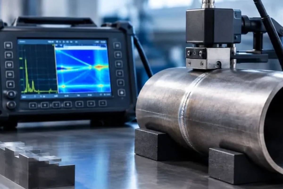
According to Voliro, the Drone-Based B-Scan system utilizes aerial ultrasonic testing to create continuous corrosion maps, allowing inspectors to identify defects that may remain undetected between traditional measurement points. The technology is capable of collecting tens of thousands of inspection points during an inspection, compared to approximately 100 measurements per hour using conventional methods.
The system generates complete B-scan records, thickness maps, and defect sizing data directly during flight, providing asset owners and inspection teams with a more comprehensive understanding of asset condition and corrosion progression.
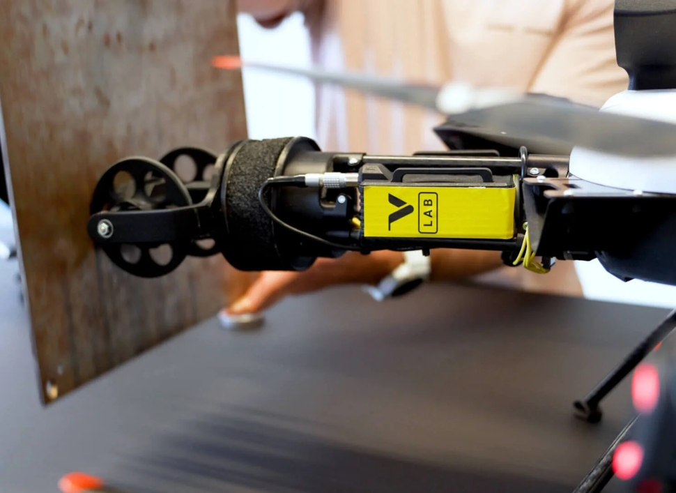
The development builds upon the capabilities of the Voliro T drone, which is designed to perform contact inspections on complex industrial structures. The platform supports multiple NDT sensor technologies, including ultrasonic testing (UT), Electromagnetic Acoustic Transducer (EMAT), Pulsed Eddy Current (PEC), and coating thickness measurement systems.
Its tilting-rotor architecture and six-degrees-of-freedom control system enable stable contact with curved, vertical, and inclined surfaces, supporting inspections without the need for scaffolding, rope access, or extended shutdowns.
Voliro indicated that the technology is intended for applications including corrosion under insulation (CUI) inspection, pipeline integrity assessment, elevated structure evaluations, and asset integrity monitoring across industries such as oil and gas, energy, mining, and chemical processing.
The company confirmed that the Drone-Based B-Scan solution remains in the prototype stage and is currently undergoing preparations for field validation. Voliro is seeking collaboration with Voliro T operators and industrial asset owners to support early testing and evaluation of the technology in operational environments.
“If you manage critical infrastructure and would like to be among the first to test it on your assets, contact us,” the company stated in the official announcement.
The Drone-Based B-Scan initiative is being developed under Voliro Lab, the company’s internal innovation program focused on advancing aerial inspection technologies for industrial applications. The project reflects the growing adoption of drone-enabled NDT solutions that combine automation, advanced sensing technologies, and high-density inspection data to support more effective asset integrity management.
Reference: https://inspenet.com/en/news/voliro-develops-a-drone-based-b-scan-system-to-map-corrosion/